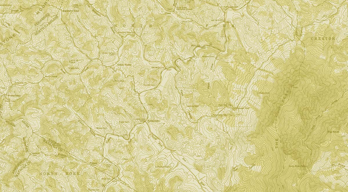


GIS and Mapping
Ian’s first love was maps. He spent hours combing over old atlases as a child and never got over the wonder of “place” upon paper. Symbols, icons, the myriad strokes of pattern across the landscape harken within us the call of exploration. “Lets go there!” is our excited cry. Maps chart the way. They have always done so. Modern digital technology allows us to explore and analyze in ways our ancestors never imagined. The ability to inquire, to ask, “where should I build my off grid house?” “Is the soil on this part of the farm suited for grape production?” “What is the extent of the official floodplain?” “Do we have the right site for a wind turbine?” -All questions modern GIS and computer mapping can help answer.
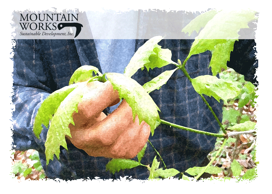
Mountain Works can provide a unique array of geographic analytical services. 3D terrain modeling, GIS, land cover analysis, cartography, and future landscape visioning can all aid mountain landowners and communities in making better informed decisions about how to exist in their complex environment. Our most exciting projects have us working on whole property design for clients interested in sustainable development of their mountain property from the ground up. We coordinate building site suitability, renewable energy assessment, and organic farm design all with the purpose of saving you money down the road by putting vital information about the landscape at your finger tips now. Working with anyone from surveyors to biologists, our role as the geographer puts us at the intersection of the disciplines, creating the most progressive stewardship for the land. Past clients include the National Committee for the New River.
Imagine site suitability analysis and scenario assessment for each structure in a development. Imagine modeling micro-climatic shifts in farm environments for better crop planning. Using the power of in depth spatial analysis informed by local knowledge our lab produces high quality map documents and interactive, multi-media spatial products for conceiving and enacting the process of sustainable development. Projects range from ecologic inventory and projections to small town planning. By using and developing cutting edge techniques within a democratized framework we keep our information accessible to our clients in ways they can actually use. Being in complete touch with the actual work on the ground is the biggest strength to our analysis. We do not operate our lab hundreds of miles from our project sites. We conduct our assessments and make decisions in near real time. This integrated approach means less time solving the problem and more time implementing its solution.
Rates: $35 per hour office time, $20 per hour field time
- Free quotes
- Additional consultation billed at $20 per hour